
PDM Vila da Ponte, Montalegre
In Vila da Ponte, about 3% of the parish is urban land under the Montalegre PDM. See what you can build, where, and the rural zones with the most reclassification potential.
PDM changes
Every amendment to municipal master plans, straight from the national registry (SNIT). Pick a district, municipality or parish on the map to scope this list; click a row to see it on the map.
| Municipality | District | Change | Publication | Date |
|---|---|---|---|---|
| Loading… | ||||
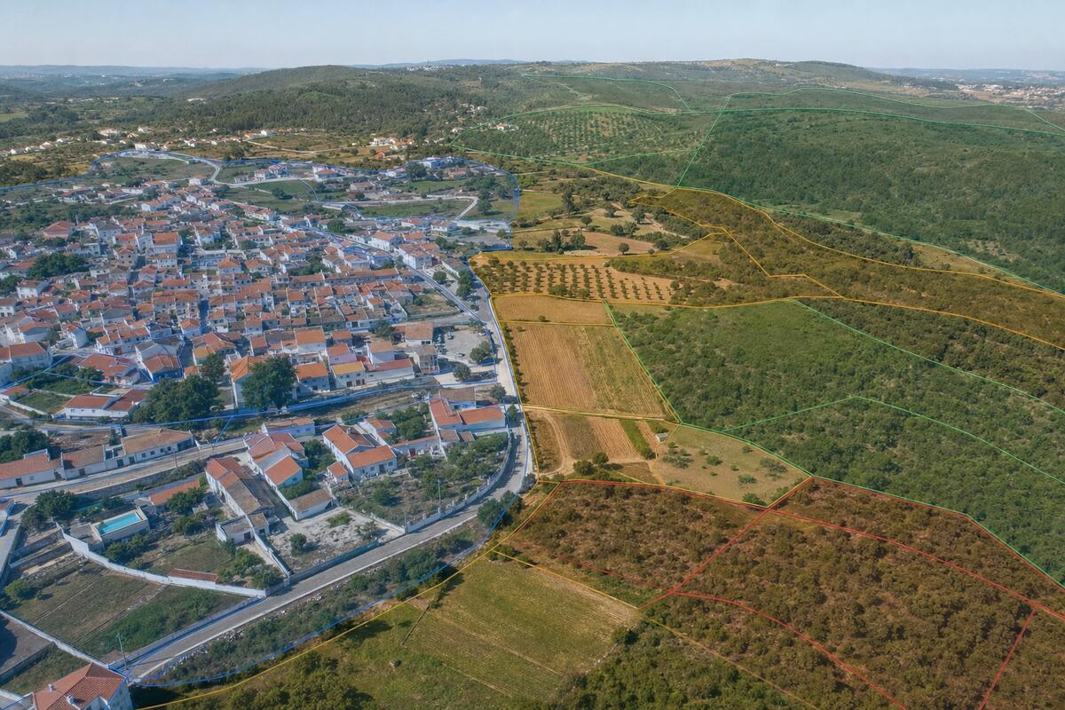
Where can you build in Vila da Ponte?
In Vila da Ponte, part of the Montalegre council, about 3% of the parish is classified as urban land under the municipal PDM. That is where construction is generally allowed. The rest is rural land, where building is limited to the plan's exceptions.
A PDM is a municipal plan, so Vila da Ponte follows the Montalegre PDM and its amendments. Use the zoning map below to locate your plot and confirm its classification.