
PDM Alfandega da Fé, Municipal Master Plan of Alfandega da Fé
In Alfandega da Fé, about 2% of the territory is urban land under the current PDM. See what you can build, where, and the rural zones with the most reclassification potential.
PDM changes
Every amendment to municipal master plans, straight from the national registry (SNIT). Pick a district, municipality or parish on the map to scope this list; click a row to see it on the map.
| Municipality | District | Change | Publication | Date |
|---|---|---|---|---|
| Loading… | ||||
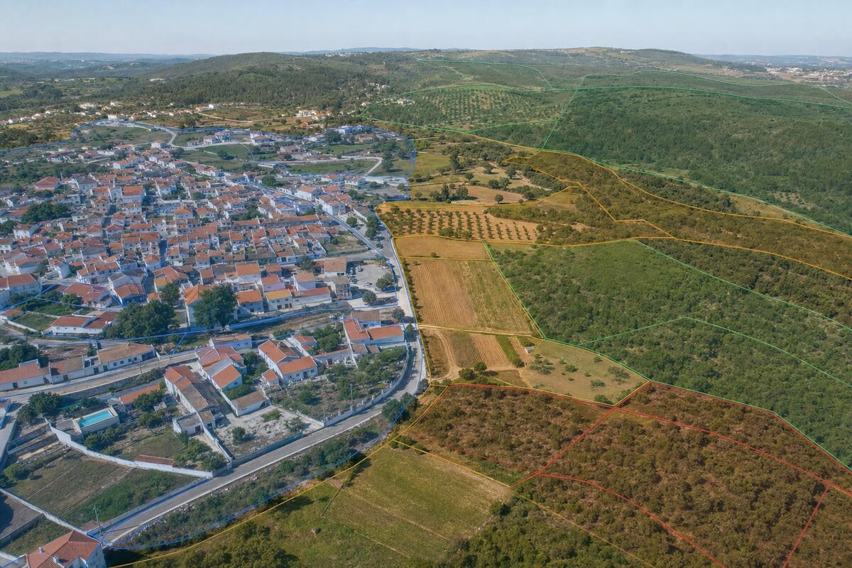
Where can you build in Alfandega da Fé?
In Alfandega da Fé, about 2% of the territory is classified as urban land under the current PDM. That is where construction is generally allowed. The rest is rural land, where building is limited to the plan's exceptions. Alfandega da Fé's Municipal Master Plan organises the area into 955 zones and has been amended 9 times, most recently on 18 September 2025.
For rural plots next to already-urbanised areas, Portugal's Lei dos Solos opened the door to reclassification as urban land. Use the zoning map below to locate your plot and confirm its classification.
Median price per m², typology breakdown, parish comparison and rental yield.
Other municipalities in Bragança
- Bragança3.3% urban · 1280 zones
- Carrazeda de Ansiães2.9% urban · 967 zones
- Freixo Espada à Cinta0.9% urban · 223 zones
- Macedo de Cavaleiros2.9% urban · 902 zones
- Miranda do Douro2.7% urban · 364 zones
- Mirandela2.7% urban · 2013 zones
- Mogadouro1.6% urban · 675 zones
- Torre de Moncorvo1.9% urban · 384 zones
- Vila Flor2.2% urban · 471 zones
- Vimioso1% urban · 741 zones
- Vinhais2% urban · 763 zones